SOIL ANALYSIS AND ITS RELATION TO LAND USE IN E-MARJ PLAIN, CYRENAICA
DOI:
https://doi.org/10.37376/jofoa.vi2.3064Abstract
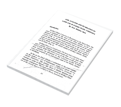
Mari Plain is known to Europeans as the Barce Plain. The hin is situated in the west of the Jebel Akhdar, on the area intween the first and the second escarpment, known as the upper sonrace (Fig. 1). At the south-western end of the terrace karst' ansion has predominated and has advanced so far as to create a series of inland drainage basins; these, with their thick deposits of Terra Rossa, form the fertile plains of El-Marj (Barce), Siline and El-Abiar (Fig. 2).
El-Marj Plain is a closed basin. The basin has a subvalley shape and it mainly extends south-west/north east. It is 42 kms. long and 12 kms. wide. The lowest point of the basin is 276 above sea level, situated one kilometer to the north-east of Old El-Marj town, and occupied by an intermittent lake in the winter, known as El-Ghariq.
Downloads

Downloads
Published
How to Cite
Issue
Section
License
Copyright (c) 2022 Journal of the Faculty of Arts

This work is licensed under a Creative Commons Attribution-NonCommercial-NoDerivatives 4.0 International License.


